
Indo-Pacific Blue Carbon DataHub
The Indo-Pacific Blue Carbon DataHub is a publicly accessible repository and atlas for vital blue carbon habitats, including mangroves, saltmarsh, and seagrass, throughout the Indo-Pacific Region. Its primary goal is to offer researchers, government personnel, and the wider community an intuitive interface to easily access, share, and visualize crucial environmental data, as well as to perform data analyses and synthesis.
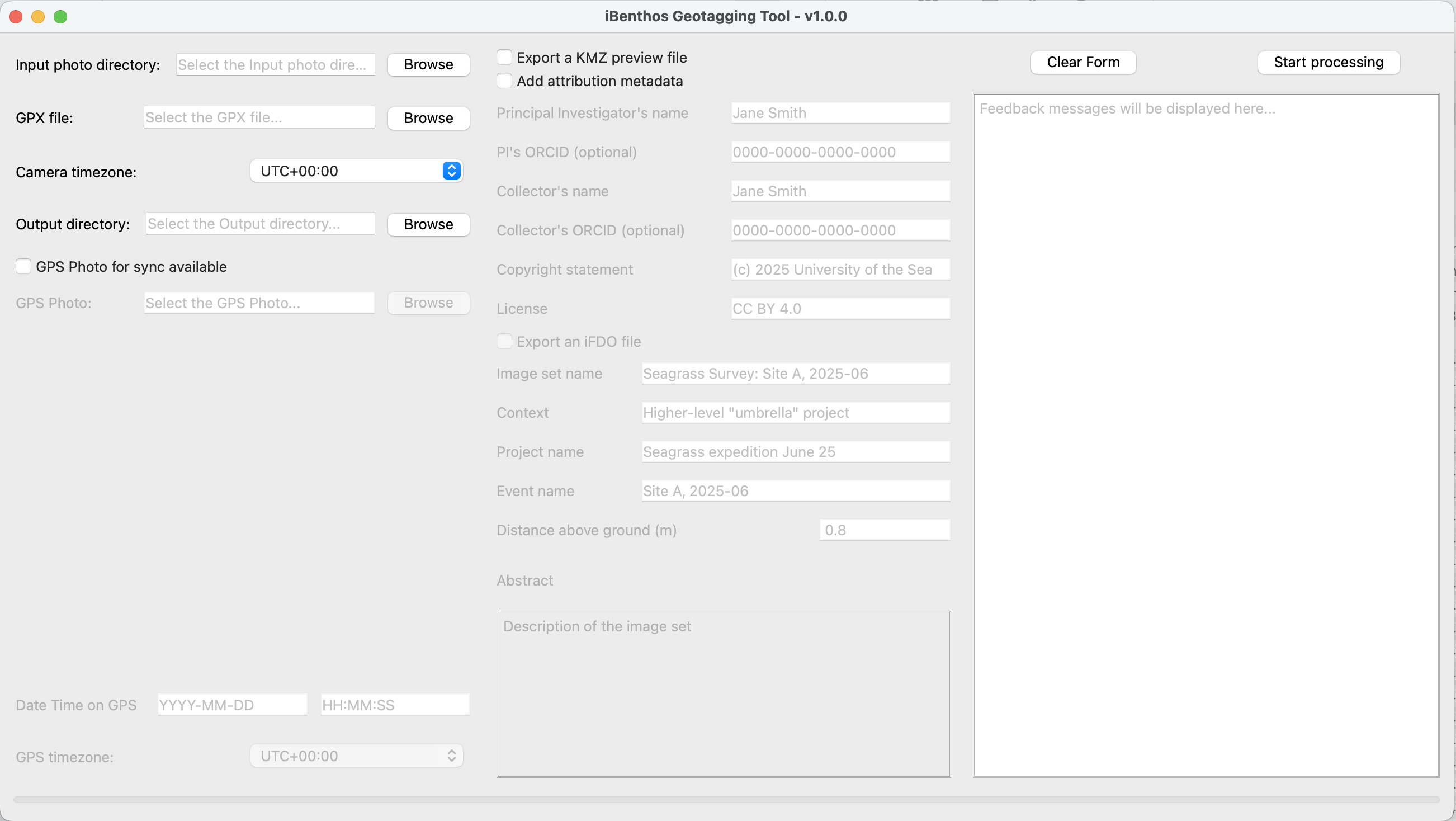
iBenthos Geotagging Tool
As part of the iBenthos workflow, this tool embeds location and attribution EXIF metadata into your images given GPS track data. It also generates a KMZ file for previewing your images on Google Earth and produces an iFDO file to simplify dataset sharing.
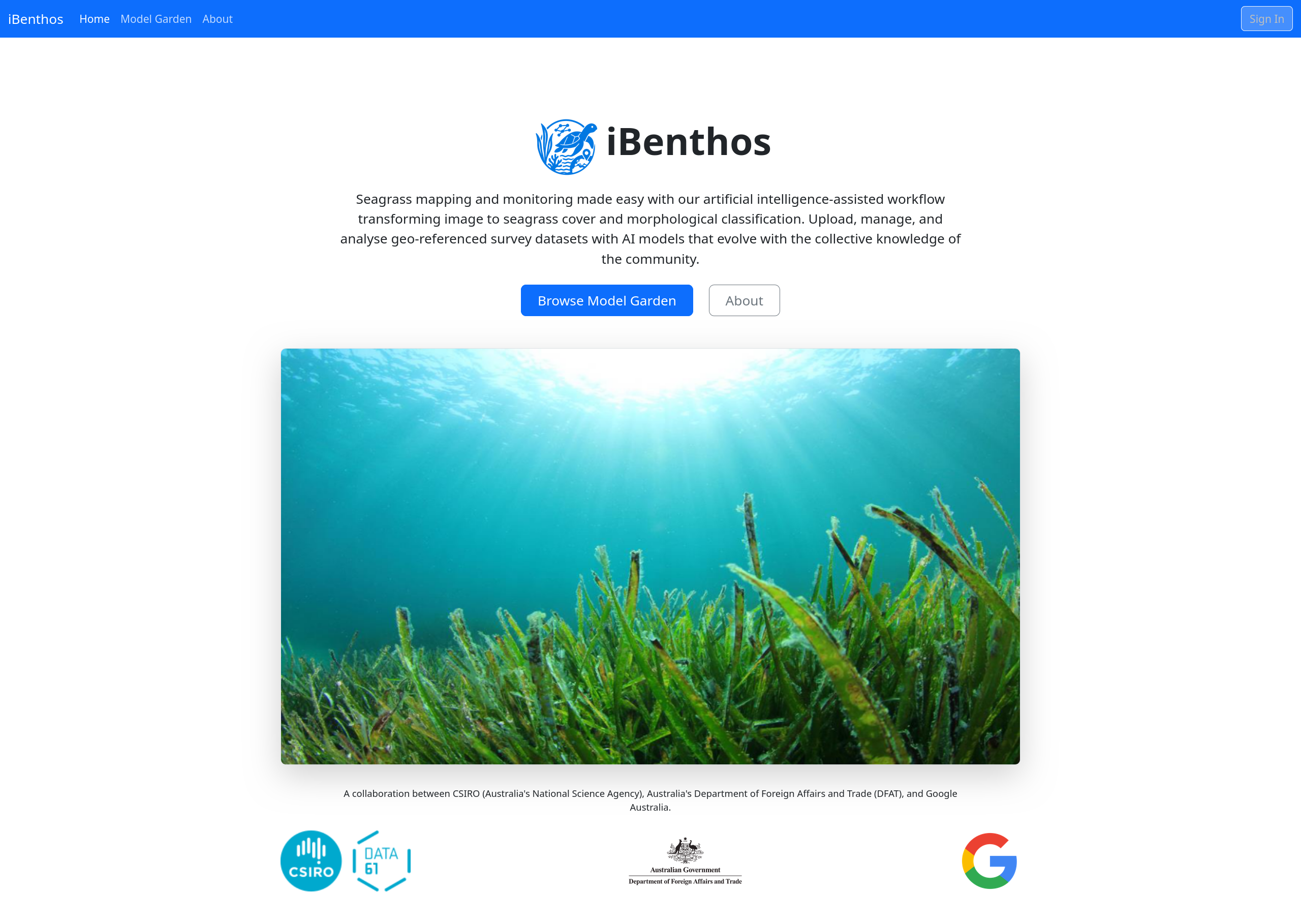
iBenthos: AI-Powered Seagrass Analysis
iBenthos revolutionizes seagrass mapping and monitoring through an advanced artificial intelligence-assisted workflow. This platform efficiently transforms images into detailed seagrass cover and morphological classifications. It enables users to upload, manage, and analyze geo-referenced survey datasets using AI models that continuously improve with collective community knowledge. iBenthos is a collaborative effort between CSIRO, Australia's Department of Foreign Affairs and Trade (DFAT), and Google Australia.